|
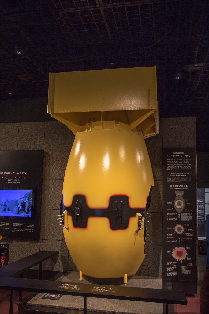 |
| 05-Nagasaki Atomic Bomb Muserum, model of atomic bomb | |
| Latitude: N 32°46'21,41" | Longitude: E 129°51'52,39" | Altitude: 20 metres | Location: Urakamimachi | City: Hiranomachi | State/Province: Nagasakiken | Country: Japan | See map | |
| Total images: 23 | Help | |